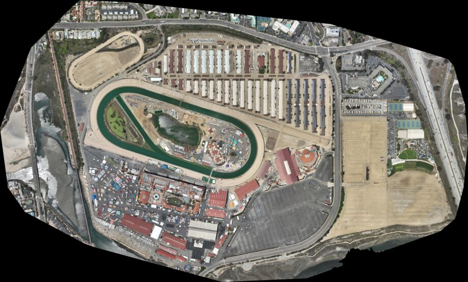
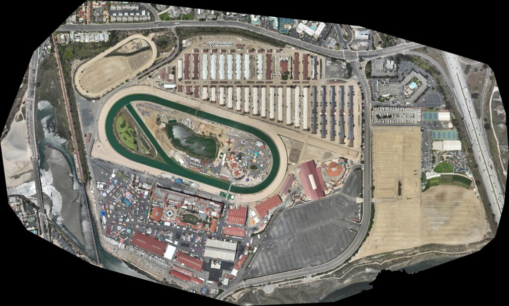
Photogrammetry is one of the most powerful ways we can turn the real world into usable digital detail. At the Del Mar Fairgrounds, we use thousands of aerial captures to reconstruct a highly accurate 3D model of the full facility, just like shown in the video, while also stitching together extremely high resolution overhead imagery of the grounds. The result is a rich digital asset that can support planning, visualization, measurement, mapping, and creative content. The same approach also extends well beyond venues, including agriculture where we can capture field conditions like wetness and stress, along with many other commercial and operational use cases across industries.
A super high resolution aerial image of the Del Mar Fairgrounds, created by stitching together many individual captures into one detailed, seamless view.
Have a custom build in mind?
From one-off prototypes to branded enterprise orders, Encinitas 3D designs, builds and ships it. Tell us what you’re thinking.